top of page
Search


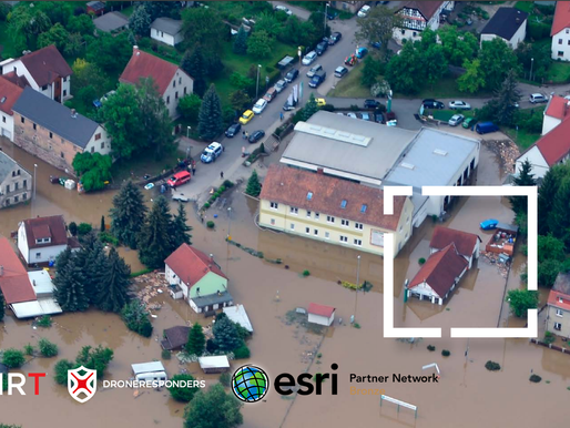
AIRT Helps Save Lives with Drones, Esri ArcGIS, and other Location Intelligence Technologies
Collaboration effort through DRONERESPONDERS program will also create a global database and map of deployable UAS assets for a wide range...
-
Apr 7, 20213 min read
bottom of page
